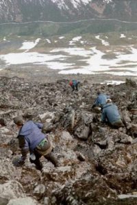
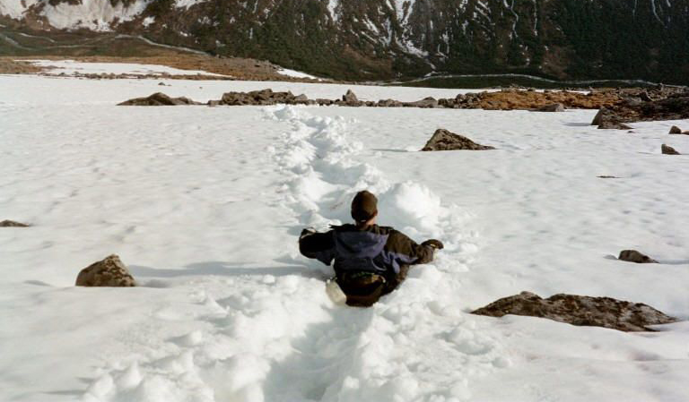
Late spring forces a change of plans – out and back, postholing, a wet end.
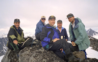
The second half of a two-part trip. With enough mountaineering training to be really dangerous, we landed on a small glacier and took an out-and-back route along a ridge, just to experience the Talkeetnas, bag a peak, and get some more glacier travel under our belts. “On belay.” Half of our party was stuck on the glacier for 3 days due to poor weather.
THE ROUTE:
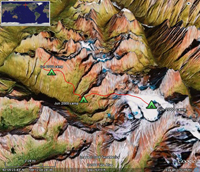 Click on the image above for a Google Earth file with the detailed route. Note: you must have Google Earth installed on your computer. You may download Google Earth for free at http://earth.google.com/. If you have any issues using these files, please contact Johnny Mo.